
Introduction
This article provides a detailed explanation on how to set up the calculation of soil volume using a selected area as the reference plane.
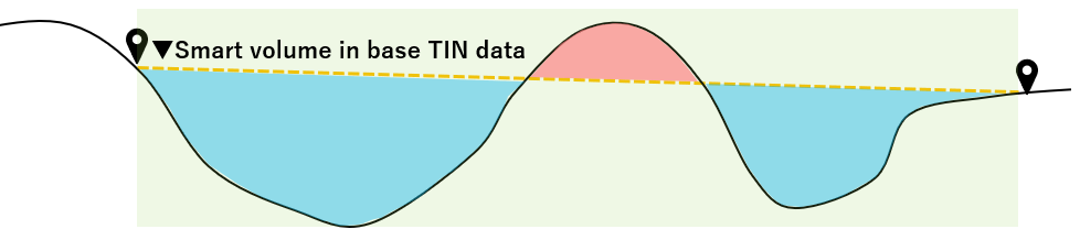
The selected area can be used as the reference plane to calculate quantities from the terrain above and below the area.
Procedures and Explanation
1. Click on the "measurement icon" in the side panel.
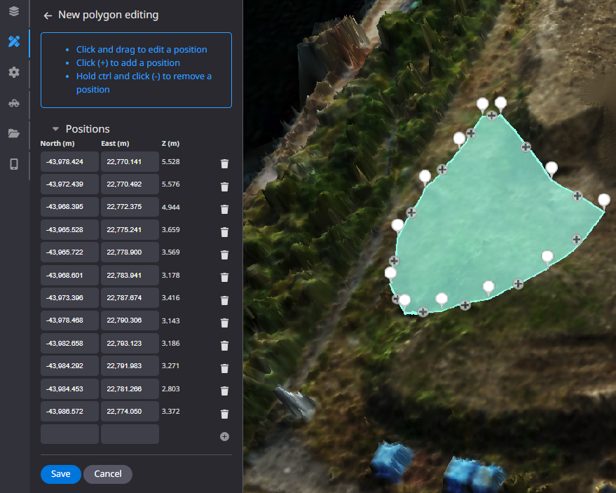
2. Select "Polygon" from the annotations.
This is a measurement tool for partial locations.
”Annotations”
”Polygon”

Left mouse click to enclose the desired area, right mouse click to exit and "save".
Click here to customize annotation information.

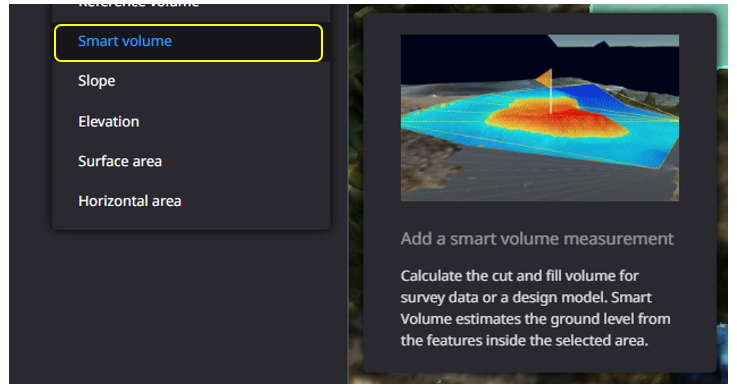
3. Click on "Add new measurement."

4. Select "Smart volume."
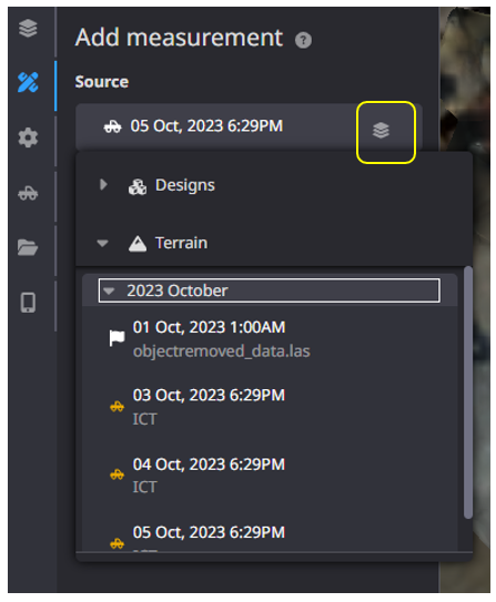
Select the reference data from "Source" and click "Add measurement".
Choose the measurement data to be used for calculation from the "Terrain" item
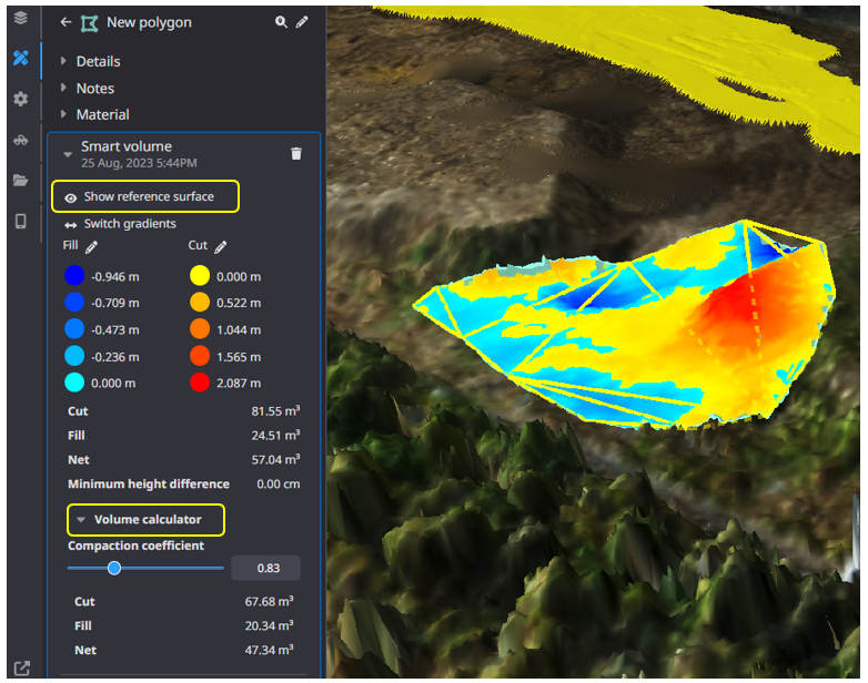
5. Click "Show reference surface" to display the internally generated "reference surface" based on the enclosed area.
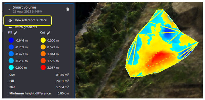
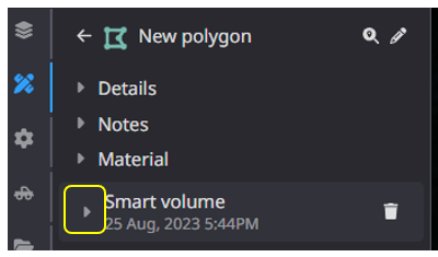
6. The result of the calculation will be reflected in the tab of the polygon you created.
Click on ▶ to display the heat map.
You can measure the amount of soil above and below this reference plane.
Regardless of the area of the design data, measurements can be taken within the range of the terrain data.
Supplementation
It can also be used for preliminary measurement of water storage capacity in temporary sedimentation basins, etc.
If you want to customize the threshold and color information of the measurement results, click here.