
|
# |
Content |
Target Function |
Overview |
|---|---|---|---|
|
1 |
New |
Measurement |
Annotations created in Dashboard can now be exported as KML files. Exported files can be used directly in external software such as Google Earth. Handy for planning drone flights |
|
2 |
Enhancement |
PDF report |
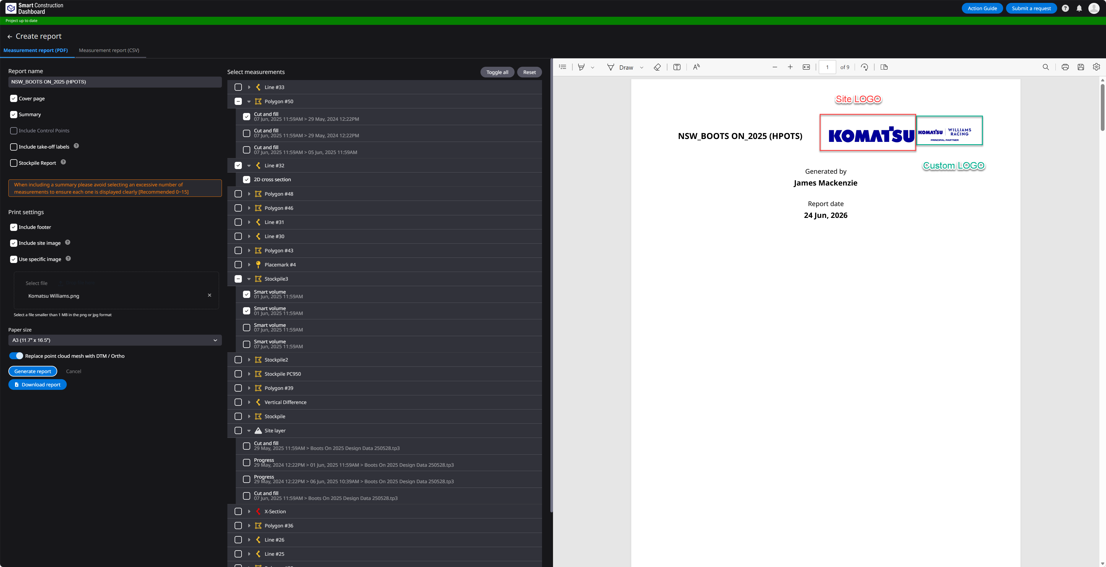
PDF reports can now include company logos and other images. Images can be displayed using either of the following methods:
When "Use Specific Image" is selected on the report creation screen, the specified logo image will be displayed in the upper-right corner of the cover page.
When "Include Site Image" is selected on the report creation screen, the Site Picture configured under Site in the Portal App will be displayed in the upper-right corner of the cover page and in the lower-left corner of each page. Note: If both options 1 and 2 are selected, both logos/images will be displayed side by side on the cover page. 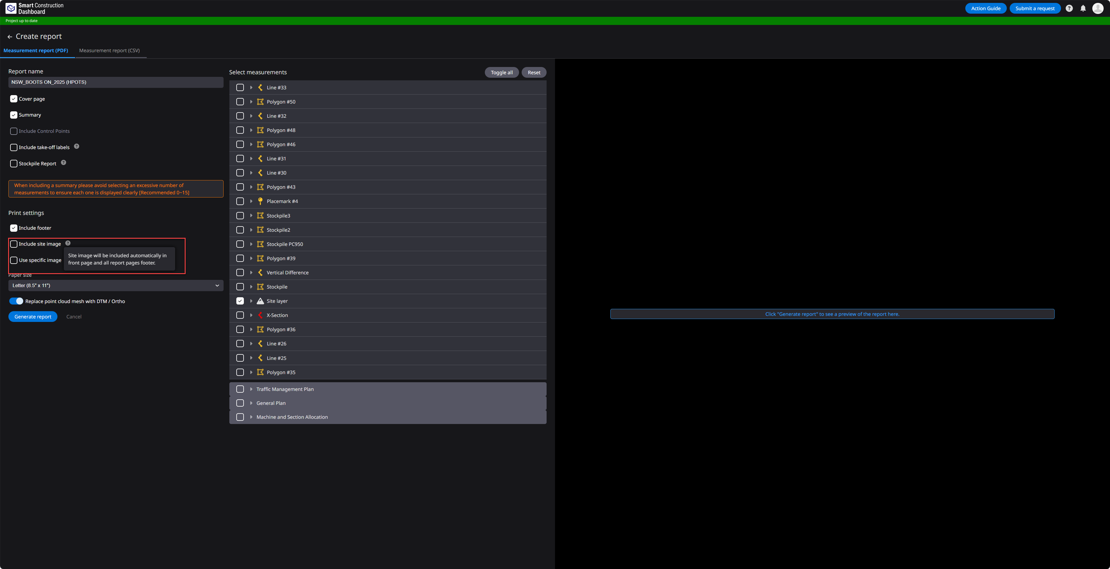
|
|
3 |
Enhancement |
Measurement |
Improved the display of slope and elevation measurement results for placemarks. When a slope or elevation measurement result is selected, the selected measurement value is now displayed above the corresponding placemark icon on the 3D map. Slope and Elevation values for placemarks can now be displayed on the map
When a placemark result (slope or elevation) is selected in Annotations, the measurement value is now displayed above the corresponding icon on the 3D map. |
|
4 |
Enhancement |
Data layer |
A new "Keep outliers" option has been added to the survey registration settings. Previously, when merging survey data in large flat areas containing small hills or elevated features, the peaks of those features could sometimes be treated as outliers and removed, resulting in an overly flattened terrain model. By enabling "Keep outliers" when registering a survey, these localized elevation features are retained, allowing terrain data to be processed and represented with greater accuracy and detail. |
|
5 |
Bug fix |
Data layer |
Fixed an issue in the “Elevation Gap” view of the Progress Heatmap where the color assigned to the lowest legend range was not always reflected on the map. The map now correctly displays the colors defined in the legend. |
|
6 |
Bug fix |
Measurement |
Fixed an issue with “Horizontal Area” measurement when using “Site” annotation. If the Site area consisted of multiple separate areas, only the largest area was previously included in the calculation. All areas are now correctly included, ensuring accurate measurement results. |
|
7 |
Bug fix |
Measurement |
Fixed an issue where the Mesh volume calculation report (CSV) could not be downloaded for certain projects containing large volumes of data. Report generation and download have been improved to ensure stable operation even for large-scale projects. |
|
8 |
Others |
Measurement |
Added validation to prevent the use of the following prohibited characters in annotation names: < > / \ " : ; ? * | = ” |