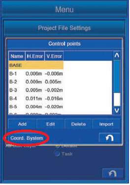
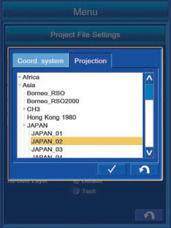
How to change localization site and projections
In Project File Settings > Control Points > Coord. System
Important to ensure the coordinate system in the project file matches the system used in the surveyor or engineer’s design file (i.e. MGA94 or MGA2020).
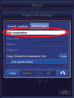
Coordinate dataset file extensions include:
-
.gc3 (Local)
-
.xml (Projection files)
-
.gff (Geoids)