
If you have a GNSS receiver & are familiar with capturing Rinex data, you can upload a compatible file to SC Cloud SfM to perform PPK processing.
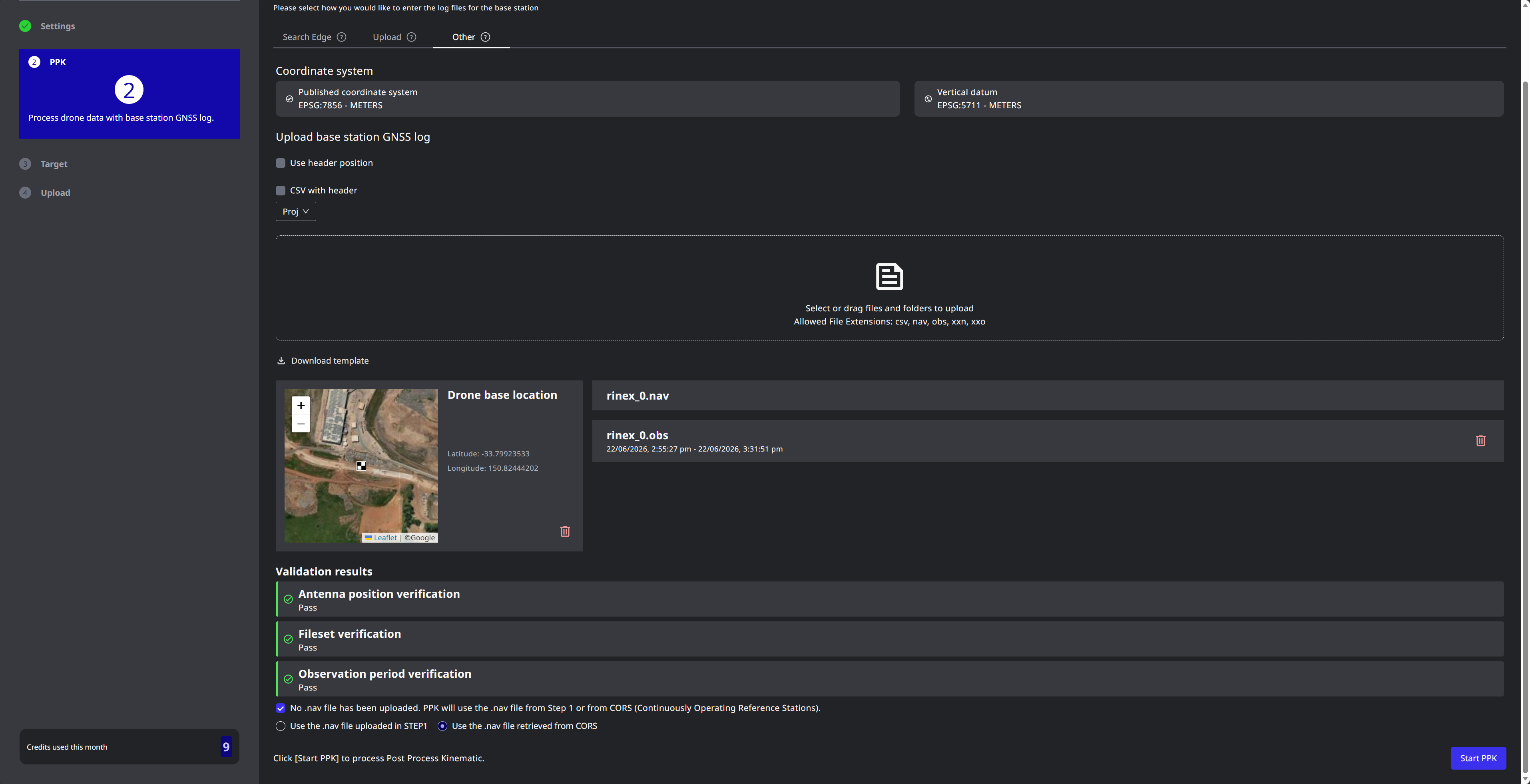
Start PPK recording before turning on the drone and stop it 5 minutes after switching off the drone.
Acceptable file formats
csv, nav, obs, xxn, xxo
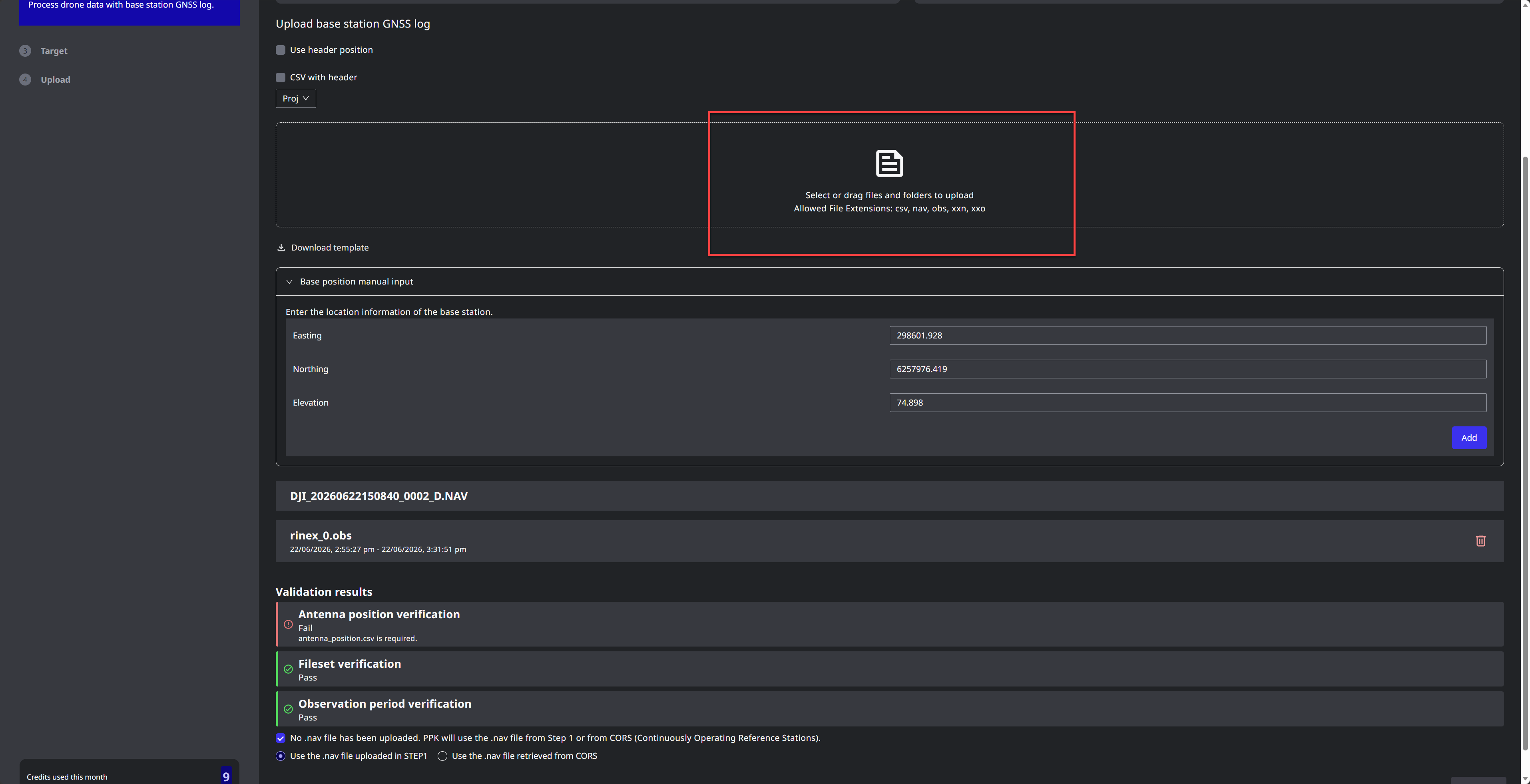
Coordinates can be input in WGS & Ellipsoidal or in Local CRS
Remember to add pole height and Phase Centre to the center of the antenna.
Information of antenna phase center can be found using NOAA Antenna Calibrations: https://geodesy.noaa.gov/ANTCAL/#
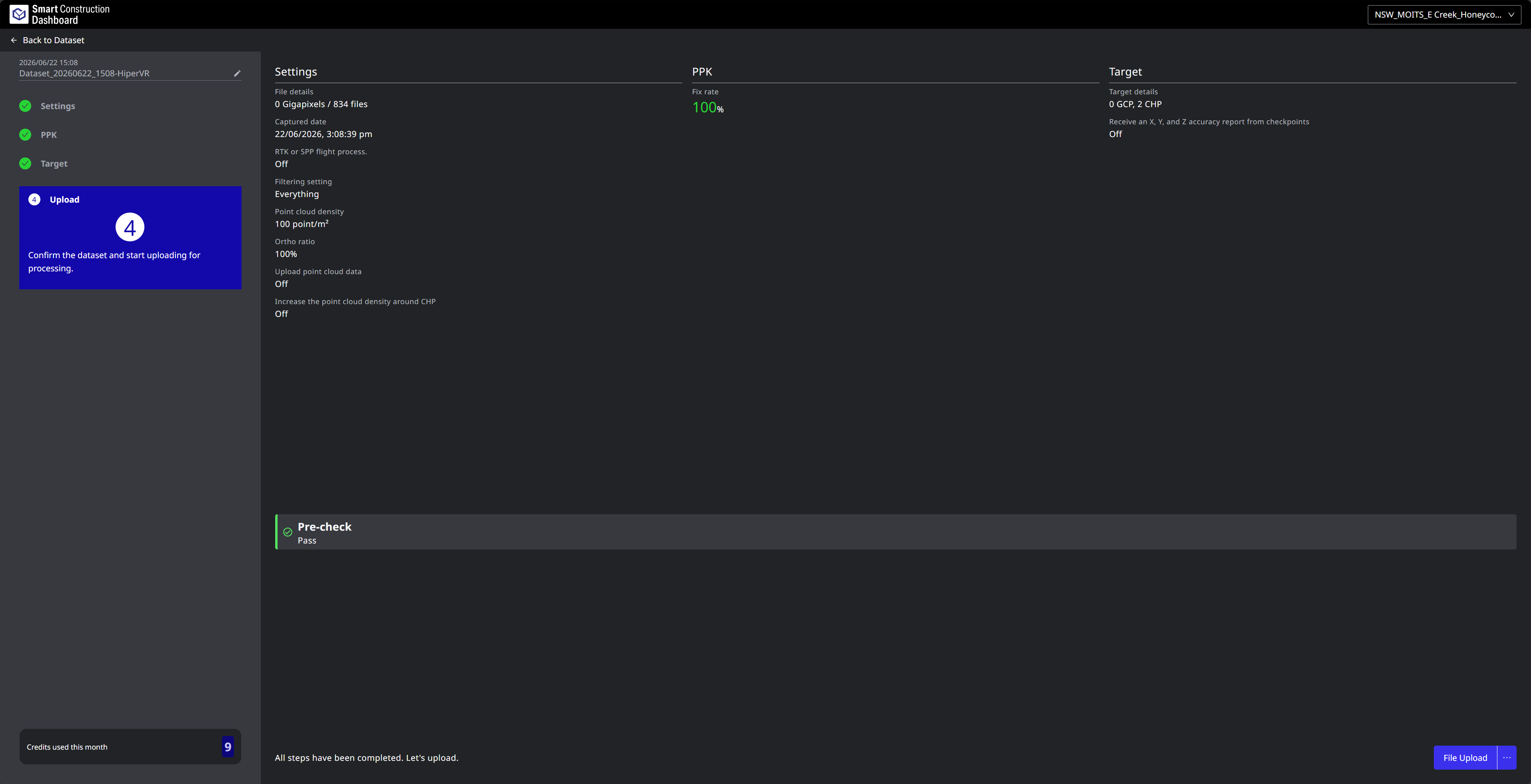
Known issue
If the file type name contains a capital letter, rename it to lowercase. For example:
Cannot use: lga0173e.26O
Renamed: lga0173e.26o